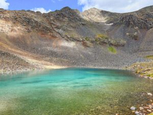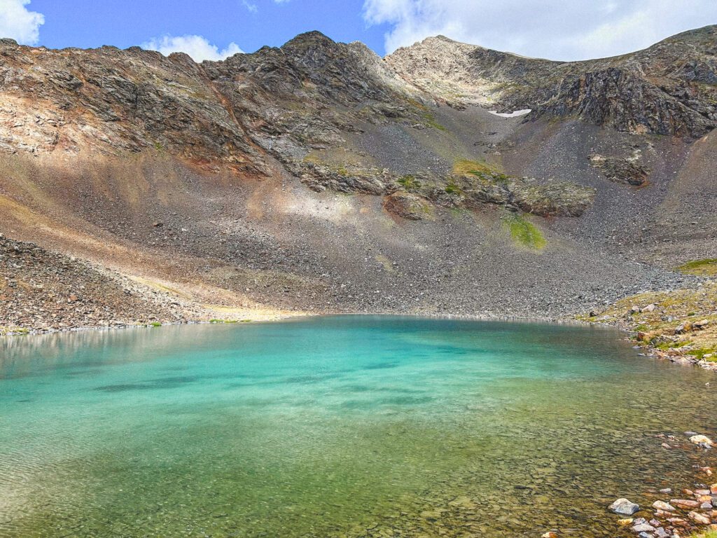
Don’t miss this 4.6-mile roundtrip hidden gem hike to Grays Lake! This vibrant turquoise-colored alpine lake sits in the shadow of Grays Peak, one of Colorado’s most popular 14ers.
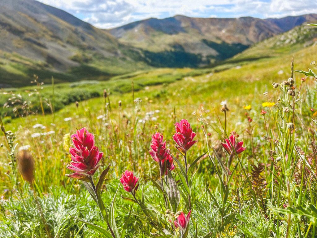
Bonus: This is a wonderful (and not too crowded) Colorado wildflower hike!
Below you will find your guide to hiking this under-the-radar trail near Lake Dillon.
FAQs
- Where is Grays Lake?
- Grays Lake is located in the Horseshoe Basin off of Peru Creek Road in Dillon, Colorado near the Keystone ski area and Montezuma. It is about a 2 hour drive from Denver depending on traffic.
- How long is the hike to Grays Lake?
- The hike is about 4.6 miles roundtrip with 1,200 feet of elevation gain. On average, the hike takes about 2.5 hours and is rated on All Trails as moderate.
- Do you need 4WD to get to the Grays Lake trailhead?
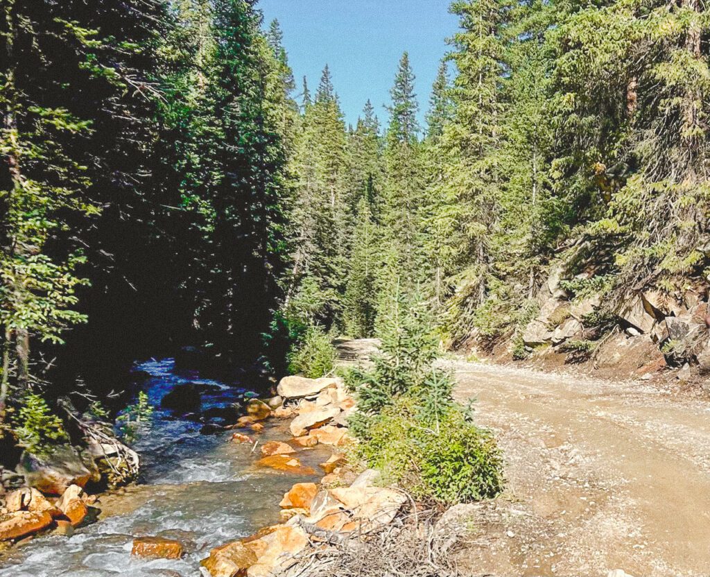
- 4WD is recommended to get to the Grays Lake trailhead, but not required. Peru Creek Road is a dirt 4×4 road. A Subaru could easily make it to the trailhead, but some low-clearance vehicles may have trouble.
- When is the best time to hike to Grays Lake?
- The Grays Lake trail is best hiked in late summer and early fall when the lake is no longer frozen, typically July through October. An abundance of wildflowers will line the trail from June through the end of August.
Getting to the Grays Lake trailhead
The trailhead is located at the end of Peru Creek Road in Dillon, Colorado. To get to Peru Creek Road, begin on US Highway 6 in Keystone. Turn onto Montezuma Road, and follow for about 4.6 miles. Turn left onto Peru Creek Road.
To arrive at the parking area of the trailhead:
- Follow Peru Creek Road for about 5 miles
- The road ends at a metal gate which marks the beginning of the trail. The parking area is on the left before you reach the gate
Peru Creek Road
Peru Creek Road is a bumpy dirt 4×4 road out of Keystone, Colorado. The road follows a beautiful silver-colored creek of the same name with crystal-clear water.
Camping on Peru Creek Road: There are many free dispersed camping spots along the road, however, they are likely to fill quickly on weekends in the summer. The dispersed camping spots are numbered and are designated with brown signs.
Parking and Trailhead
There is a small dirt parking lot at the trailhead with about 20 spaces. There is also some room to park along Peru Creek Road, although parts of the road (including near the gate at the trailhead) are too narrow.
The trailhead is a metal gate next to an old mining structure.
Grays Lake hike
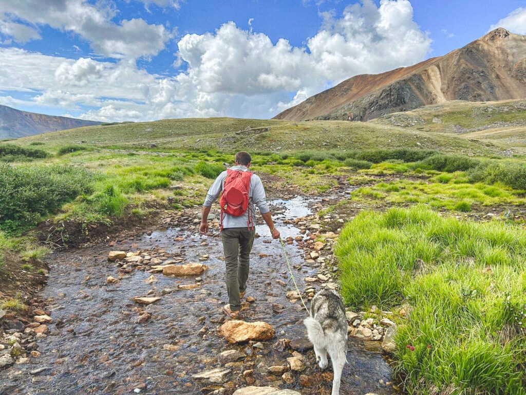
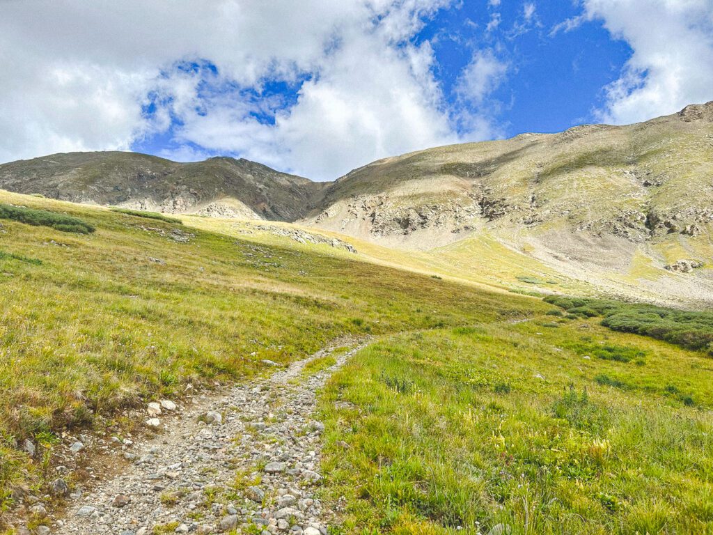
The hike to Grays Lake is a 4.6-mile out-and-back trail. The trail is not well-marked, however, if you stay on the wide, well-traveled trail and turn left at each junction, you will arrive at the lake without any issue.
I recommend downloading the All Trails app for this hike.
Best tips for hiking to Grays Lake
- Bring plenty of water and wear SPF. There is no shade on this hike.
- Pack a lunch. Stay and appreciate the beauty of this turquoise alpine lake!
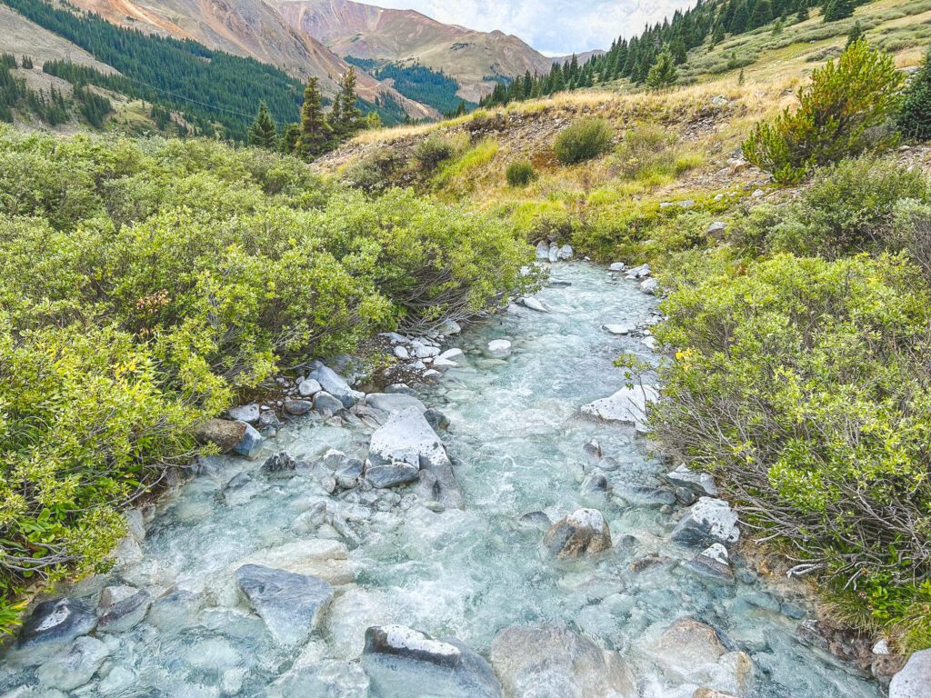
- Near the beginning of the trail, stop off at the start of the Argentine Pass Trail (there is a sign marking the start of this trail). Walk over the bridge just steps away for an up-close look at the gorgeous silvery water of the creek! Then, turn around and head back to the trail.
Grays Lake – a hidden gem hike near Lake Dillon, Colorado
In summary, if you love turquoise alpine lakes and wildflowers, add this off-the-beaten-path trail to your must-do Colorado hikes list!

